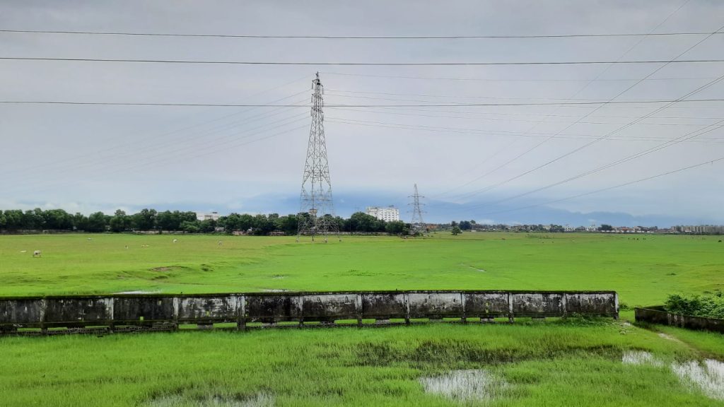
If one were to carefully study the map of India, a distinctive geographical feature would come into focus—a slender piece of land wedged between Bangladesh and Bhutan, firmly belonging to India. Its shape, resembling the neck of a bottle, has earned it the moniker “Chicken’s Neck.” Stretching a mere 21-22 kilometers from north to south, this region is commonly referred to as the “Siliguri Corridor.”
The Chicken’s Neck – Siliguri Corridor
What makes the Siliguri Corridor of paramount importance is its role as the sole point of entry to the northeastern states of India. Whether it’s the transportation of groceries, fuel or other essential commodities, all must traverse this corridor, either by rail or road. As a result, it aptly earns its reputation as the “Gateway to Northeast India.”
The town situated within this strategic corridor is Siliguri, a unique place in the Indian landscape. During my journey from Varanasi to the enchanting Queen of Hills, Darjeeling, I had the opportunity to experience the iconic Northeast Express, which brought us to Siliguri. Subsequently, we continued our journey to Darjeeling by taxi, and I must admit that it ranks among the most delightful journeys I have ever undertaken in India.
Journey to Siliguri
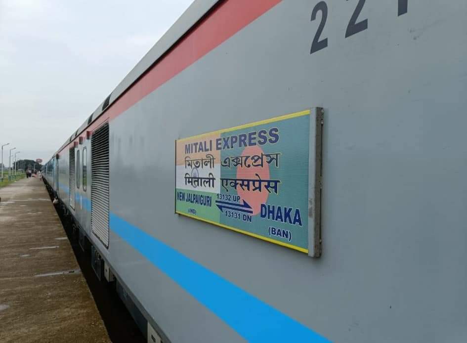
After our exploration of Varanasi, our next destination was Darjeeling. Accordingly, we boarded a train bound for Siliguri, arriving there at around 9 a.m. We alighted at New Jalpaiguri and were quite intrigued to see a train connecting India to Bangladesh. Yes, it may sound unusual, but it’s true. This train originates here and concludes its journey in Dhaka, covering a distance of 513 kilometers as the Mitali Express, establishing a crucial rail link between India and Bangladesh.
Connecting International Destinations
Train to Bangladesh
The Mitali Express, one of the few international train routes from India to Bangladesh, operates during daylight hours, departing from New Jalpaiguri in the morning and arriving in Dhaka by evening. Passengers traveling on this route are subject to certain restrictions, but it represents a significant development in fostering tourism and transportation between India and Bangladesh.
Bus to Nepal
From the train station, we made our way to the bus stand, only to be surprised by preparations for the inauguration of new bus services between India and Nepal, specifically to Kathmandu. Even more astonishing was the impending arrival of West Bengal’s Chief Minister, Mamata Banerjee, for the inauguration ceremony. This marked our second international connection. India already has a rail link with Nepal, running from Jayanagar in Bihar to the Nepalese border city of Bardibas, operated by Indian Railways. Other major Nepalese cities can be accessed from there via alternative modes of transportation.

Visiting Nepal as an Indian citizen is relatively straightforward, as a visa is not mandatory. Numerous shared taxis and private taxis operate between major Indian cities and the border cities, allowing for seamless border crossings and travel within Nepal.
Taxis to Bhutan
We then proceeded to the taxi stand, where we discovered taxis heading to the Bhutan border. These taxis drop passengers at the border, where local Bhutanese taxis take over to transport them to different cities within Bhutan. Indian tourists can also visit Bhutan without a visa, although certain documentation is required. While there is currently no rail connection to Bhutan, plans for one are in progress. Nevertheless, many bikers and travelers journey to Bhutan by road, either by flying into Paro or by embarking on a road trip. Some individuals even rent motorcycles in Siliguri to explore Bhutan or bring their own bikes for the adventure.
Gateway to China Border
Shared taxis and private taxis make it convenient for Indians to reach the border and continue their journey into Bhutan. Moreover, the Siliguri Corridor serves as a major gateway to the Chinese border, although the specifics of transportation to China remain uncertain. However, it is evident that Siliguri offers accessible routes to Nepal, China, Bhutan, Bangladesh, and, most notably, the Seven Sisters of India.
Geography of Siliguri Corridor
Nestled at the foothills of the Himalayas, Siliguri also serves as a vital transportation and tourism hub. To the north of Siliguri lies Sikkim, where Darjeeling is also situated. As one proceeds towards these regions, the altitude rapidly increases, bringing travelers closer to the towering peaks of the Himalayas. These lofty terrains pose unique challenges when it comes to connectivity and amenities. Once again, Siliguri plays a pivotal role as the primary supplier of essential goods, tourists, and services to these areas.
The picturesque rivers Teesta and Mahananda meander through this region before emptying into the Bay of Bengal.
How to Reach Siliguri Corridor
Anyone planning to reach Sikkim or Darjeeling by road typically arrives in Siliguri, either by train or bus. The nearest airport, Bagdogra, is located to the west of the city. Given the substantial influx of tourists and defense personnel, Siliguri boasts multiple bus terminals and railway stations to manage the traffic arriving from various parts of India.
The Gateway to Sikkim
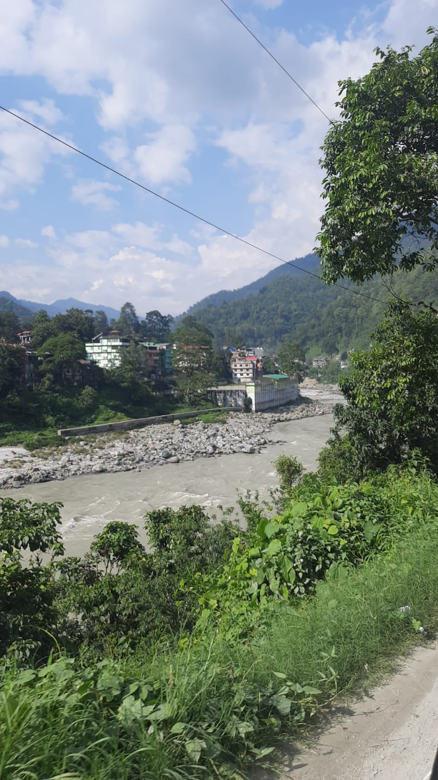
The entire state of Sikkim relies heavily on Siliguri for most of its essentials, given that it provides the most easily accessible route to the capital city of Gangtok. A similar dependence on Siliguri exists for Darjeeling and the surrounding villages. Weather conditions can also pose a significant challenge when traveling in these areas. The region is susceptible to heavy landslides during certain weather conditions, resulting in roadblocks that can last for several hours. A journey from Gangtok to Siliguri, covering a distance of 110 kilometers, took us around five hours in favorable weather conditions. However, the situation can deteriorate significantly during inclement weather, leading to travel times exceeding 8-9 hours due to road closures.
The Gateway to Darjeeling
The situation in Darjeeling is somewhat similar, albeit with steeper ascents. Despite the shorter distance of just 60 kilometers, the climb from Siliguri’s elevation of 400 feet to Darjeeling’s lofty perch at 2,045 feet is rather rapid. In contrast, Gangtok, located 110 kilometers away, sits at an elevation of 1,600 feet.
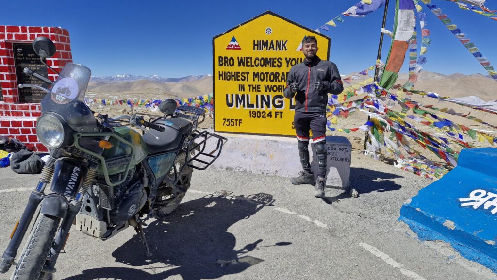
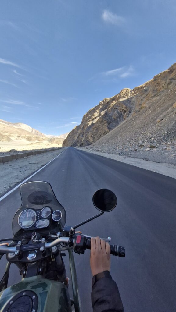
Setting aside the challenges and practicalities, journeys through the Himalayas are an absolute delight. They are often more breathtaking and memorable than the destinations themselves. Although these terrains are fraught with danger, the experiences they offer are unquestionably worth the risks. When I refer to risk, I am alluding to journeys through treacherous passes like Zoji La, the Manali-Leh Highway, the Manali-Rohtang Pass, and Kunzum Pass. However, the routes between Siliguri, Darjeeling, and Gangtok are relatively safer, free from such concerns.
Conclusion
The spectacular landscapes, picturesque highways, awe-inspiring ravines, and thick white clouds that envelop the surroundings create indelible memories during these journeys. And how could I forget the simple joy of savoring a plate of traditional pahadi maggi with steaming hot Darjeeling tea in the chilly weather, all while gazing upon the breathtaking vistas? These are experiences that I will cherish forever.
In future blogs, I will delve deeper into our three journeys: from Siliguri to Darjeeling, Darjeeling to Gangtok, and Gangtok back to Siliguri. These remarkable journeys offer a glimpse into the extraordinary beauty and rich diversity of the Indian landscape, making them stories worth sharing.
